
Algonquin Park History

Park History
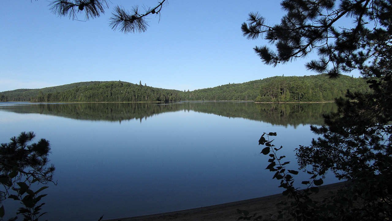
Algonquin Provincial Park, established in 1893, is a heavily wooded landscape located on the Canadian Shield, northeast of Toronto and northwest of Ottawa. It encompasses 7571 square kilometers of land, including five major rivers and numerous small lakes. 15% of the land is water. Algonquin Provincial Park also features various buildings, structures, roadways, and pathways.

The Anicinàpe
The Anicinàpe people, also known as the Algonquin people, have lived in Algonquin Park for centuries and used the park’s resources for food and spiritual practices. They maintain a strong connection to the land despite being displaced in the past. Collaborative efforts are being made to preserve their cultural heritage and include Indigenous perspectives in park governance, recognizing the important role of Indigenous knowledge in conservation efforts in the region.

The establishment of Algonquin park was a recommendation by the Royal Commission of Forest Reservation and National Parks. They continue to oversee the agriculture, and preservation of the ancient forest, and grant protection of the headwaters of the five major rivers that flow from the park (Petawawa, Madawaska, Muskoka, Amable du Fond, and South Rivers).