
Algonquin Provincial Park
Exploration Project


2026 Project Goals
Subject to Ministry review, we aim to plan trips to the primary lakes that we have previously explored during camping in the backcountry, as well as one new challenge. Every lake has a unique depth rating, ecosystem, and wildlife. As we move on to the next lake, the depth will also increase. With every step of this three-part project, we plan to partially map the topography and learn more about operating ROV technology in different conditions.


Canisbay Lake:
Lake Depth: 26m
45.573688 | -78.590496
Canisbay Lake was where we first learned the fundamentals of backcountry survival. It was fitting that we begin our initial pilot trip from this point. With its convenient location, Canisbay Lake has become a popular destination, leading us to investigate the lasting consequences for the park and its marine residents.
Lake Opeongo:
Lake Depth: 49m
45.693137 | -78.375836
Our objective is to observe Lake Opeongo’s deepest section, specifically the “y” mid-point area. This lake is well-known for its hazardous swells and unpredictable weather, so it’s weather permitted! The difficulty of the lake will help us learn more about how our ROV will perform in open water conditions.
?
A New Challenge
Lake Depth: ??m
00.0 | 00.0
As a final challenge, we’d like to explore a cliff formed around 10,000 years ago during the last ice age. Standing above the waterline, the cliffside towers 30 meters high and descends much deeper below.
Stay updated on our journey by subscribing to our newsletter and following us on our social media!
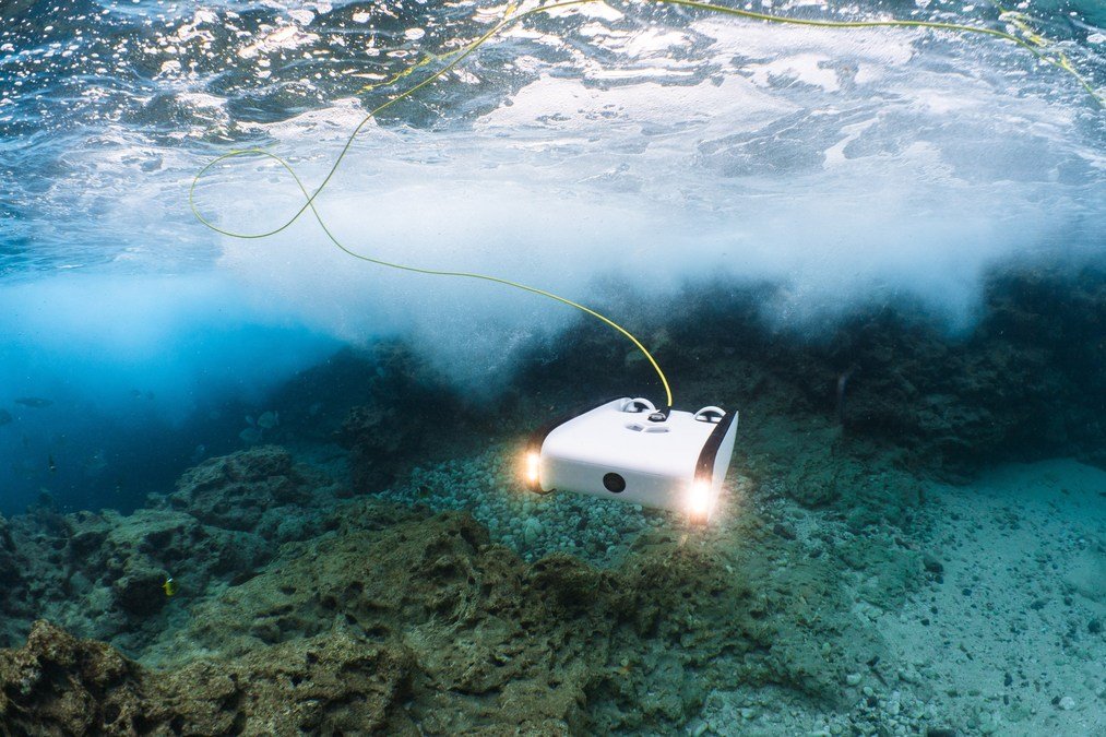
Featured Technology
Learn about the ROV we will be using.